“We abuse land because we regard it as a commodity belonging to us. When we see land as a community to which we belong, we may begin to use it with love and respect”
-Aldo Leopold
Land Stewardship Program Goals
The Land Stewardship Program is dedicated to demonstrating the ecological benefits of successional habitat management across the refuge. Our work centers on the intentional use of prescribed fire, prescribed grazing, and strategic brush management to restore and maintain healthy, resilient native ecosystems. Through these tools, the team aims to promote plant diversity, improve wildlife habitat, and reestablish the natural processes that historically shaped the Welder landscape.
Refuge Description
The Rob and Bessie Welder Wildlife Refuge is located seven miles north of Sinton, Texas, just off US Highway 77. Our location is central to the remarkable diversity found across the refuge’s 7,800 acres. The entire northern boundary is formed by the tidal Aransas River, which winds toward Copano Bay only thirteen miles downstream from our headquarters.
The refuge lies at the meeting point of two of Texas’s most iconic ecoregions – the Gulf Coast Prairies and Marshes and the South Texas Plains. This convergence creates a landscape where coastal oak mottes and open prairies blend seamlessly into the tamaulipan thornscrub that defines much of South Texas.
That ecological richness is reflected in the diversity of life supported here. The refuge contains over 700 plant species, including more than 60 native grasses, along with 24 distinct soil types and nearly 30 ephemeral wetlands that shape habitat across the property. Wildlife diversity is equally impressive, with more than 60 mammal species, over 400 documented species of migratory birds, and approximately 90 species of amphibians and reptiles recorded on the refuge.
Together, these features make the Welder Wildlife Refuge one of the most biologically diverse private conservation landscapes in the region, a living laboratory for research, education, and long‑term stewardship.
Current Land Management
The tools we use to manage the refuge have not changed dramatically over time, but our understanding of how to apply them has grown substantially. Prescribed fire, prescribed grazing, and brush management have been part of this landscape since before the Foundation was formally established, and they remain the backbone of our stewardship today. What continues to evolve is not the tools themselves, but the way we use them, guided by decades of research, monitoring, and on‑the‑ground experience.
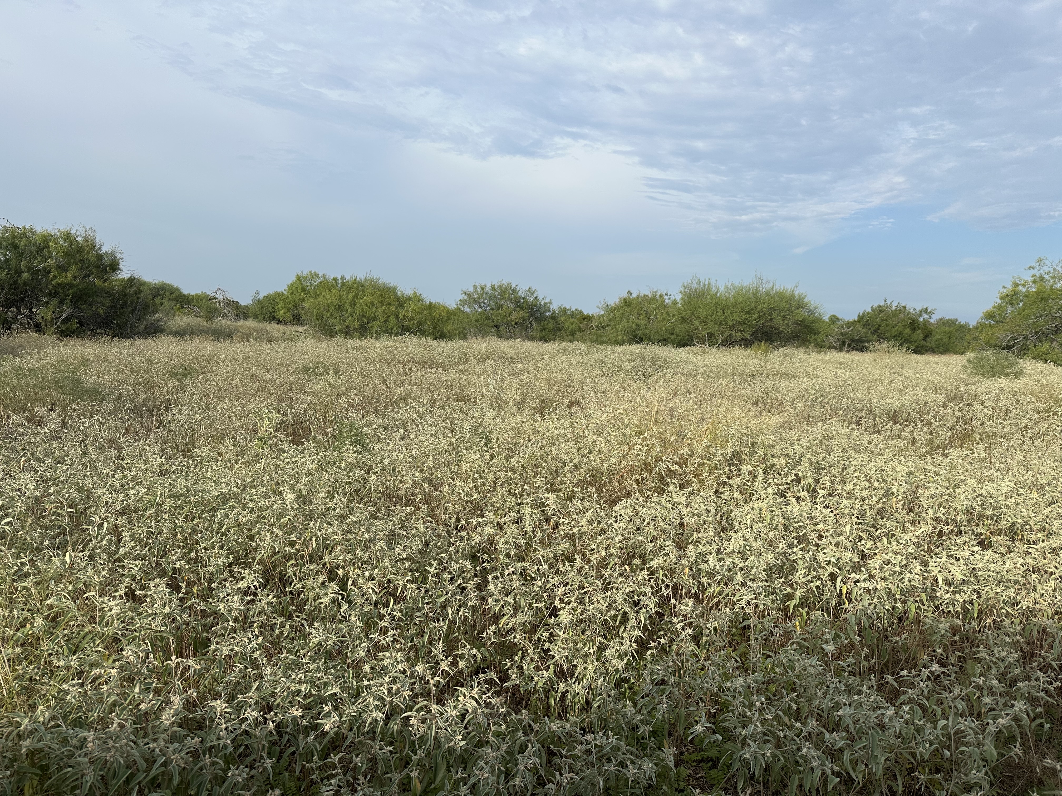
Like many properties across Texas and the broader United States, we face ongoing challenges with brush encroachment and invasive grasses that threaten to outcompete the native pastures once abundant across the refuge. As land stewards, we have adapted our management strategies to restore the ecological processes that historically shaped this region. By reintroducing fire, managing grazing with intention, and reducing invasive woody and grass species, we are working to rebuild the resilience, productivity, and biodiversity of our rangelands.
Brush Management
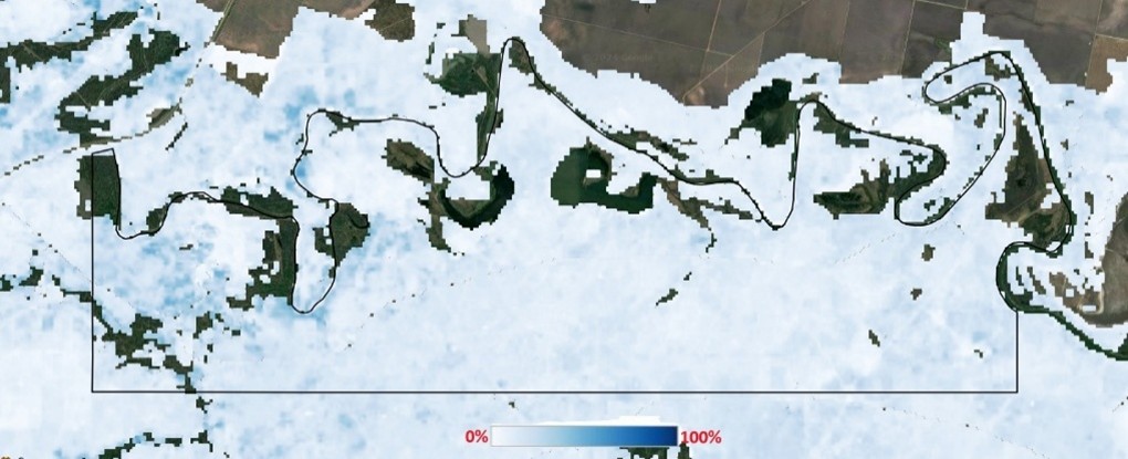
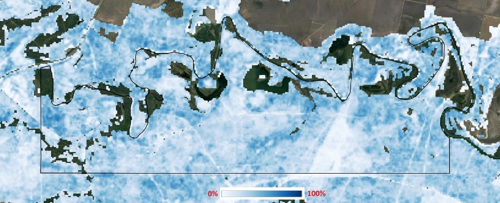
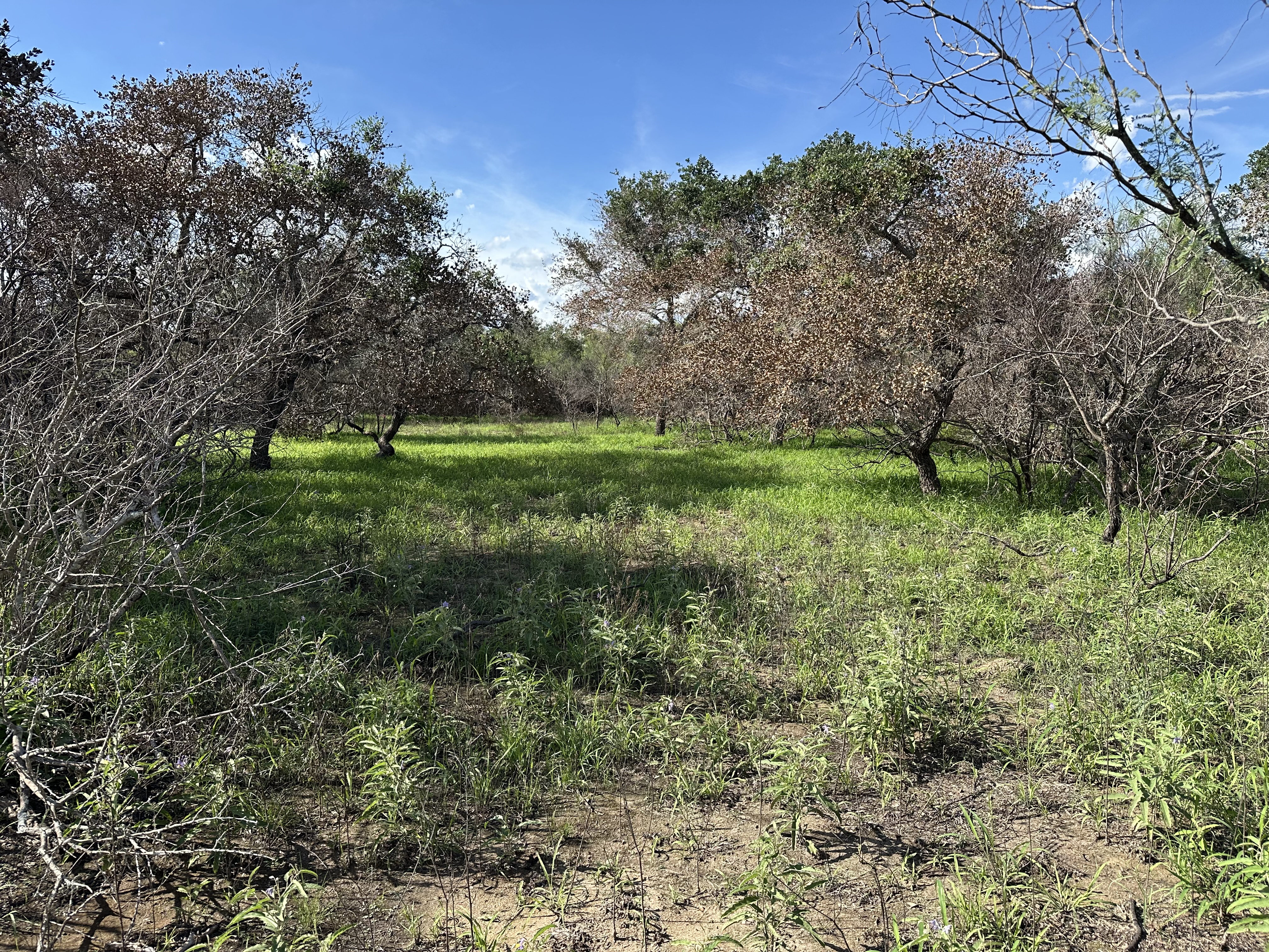
Due to our unique location, we face the same brush challenges that affect both ecoregions in which the refuge sits. Our most abundant brush invader is huisache (Vachellia farnesiana), which has expanded aggressively across the property. Mesquite (Prosopis glandulosa), live oak (Quercus virginiana), and a variety of Tamaulipan thornscrub species also contribute to encroachment. Although all of these species are native, decades of reduced fire frequency and historical overgrazing have allowed them to expand far beyond their natural ecological roles.
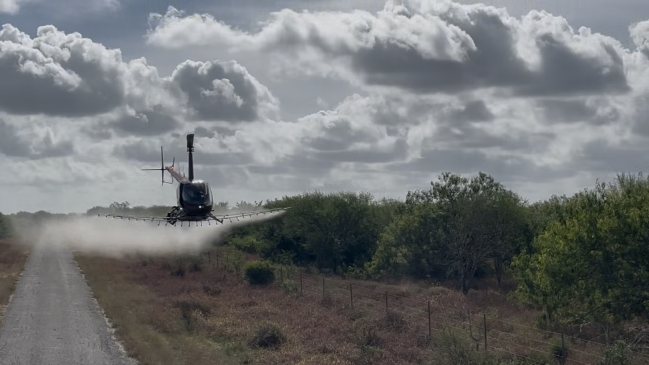
As noted previously, the refuge has implemented brush management in various forms throughout its history. However, the pace and scale of encroachment have outstripped past efforts, underscoring the need for a more strategic, long‑term approach. Moving forward, targeted acreage will receive aerial herbicide applications, followed, when feasible, by individual plant treatments (IPT) the following year. Aerial treatments typically achieve a 75% kill rate, and the addition of IPT using foliar spray methods can increase overall effectiveness to nearly 100%. In areas where IPT is not practical due to large acreages, follow‑up aerial applications will be used until desired control levels are reached.
Our long‑term objective is to restore a more functional and historically appropriate canopy structure across the refuge. To achieve this, we aim to reduce woody canopy cover to approximately 10% on sandy soils and around 20% on clay soils. Reaching these targets will help reestablish the ecological processes, particularly fire and herbivory, that support healthy, resilient native grasslands and prairies.
*Images: The top image to the right shows scrub cover in 1986, the bottom shows shrub cover in 2023.
Grazing Management
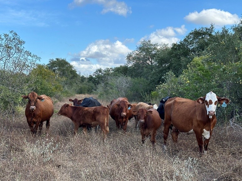
Our approach to grazing has evolved significantly to better match the landscape we manage today. With brush encroachment being one of our most pressing challenges, stocking rates and the way we use cattle as a management tool must adapt accordingly. To align with our current grazeable acreage of 4,251 acres, we will be substantially reducing stocking rates. This adjustment not only reflects the reality of reduced forage availability but also creates the conditions needed for more frequent and effective use of prescribed fire.
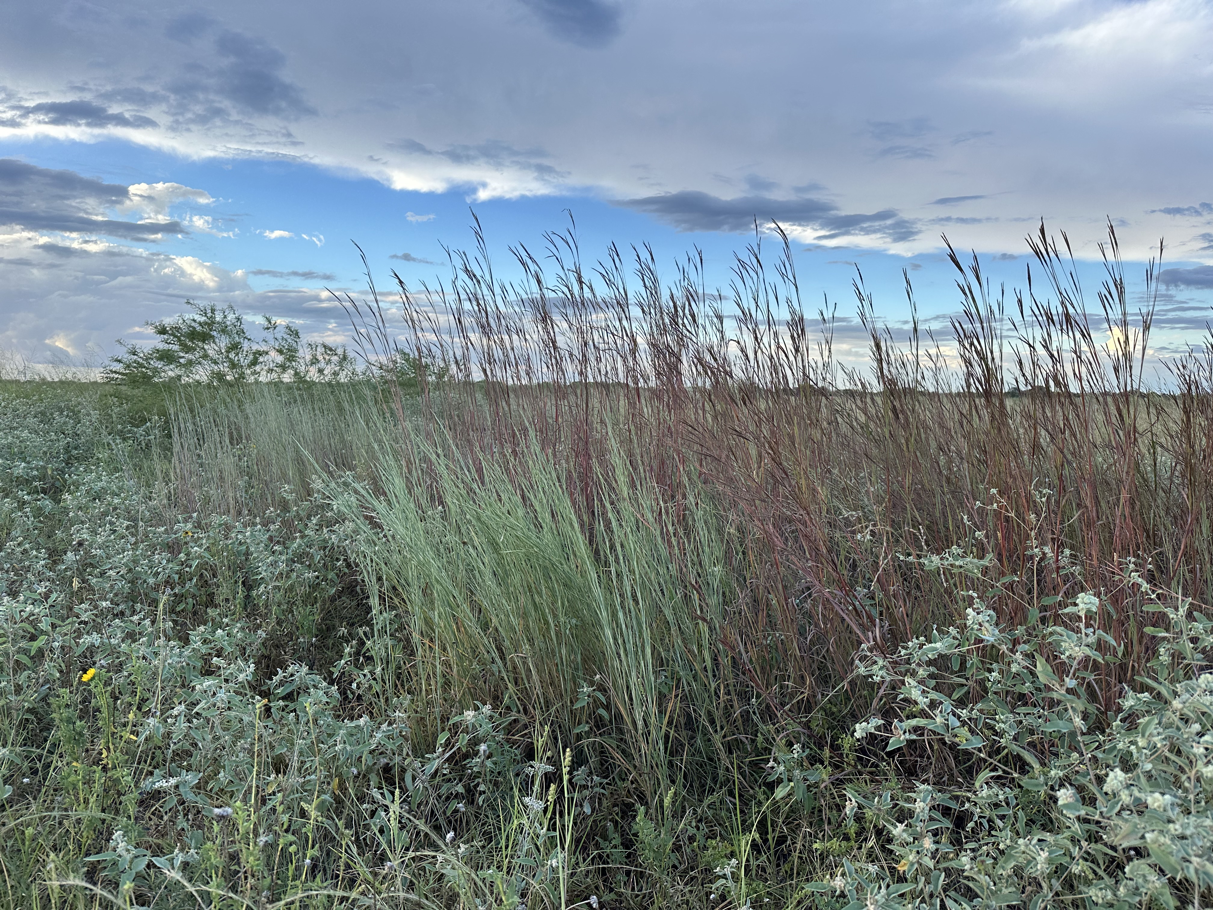
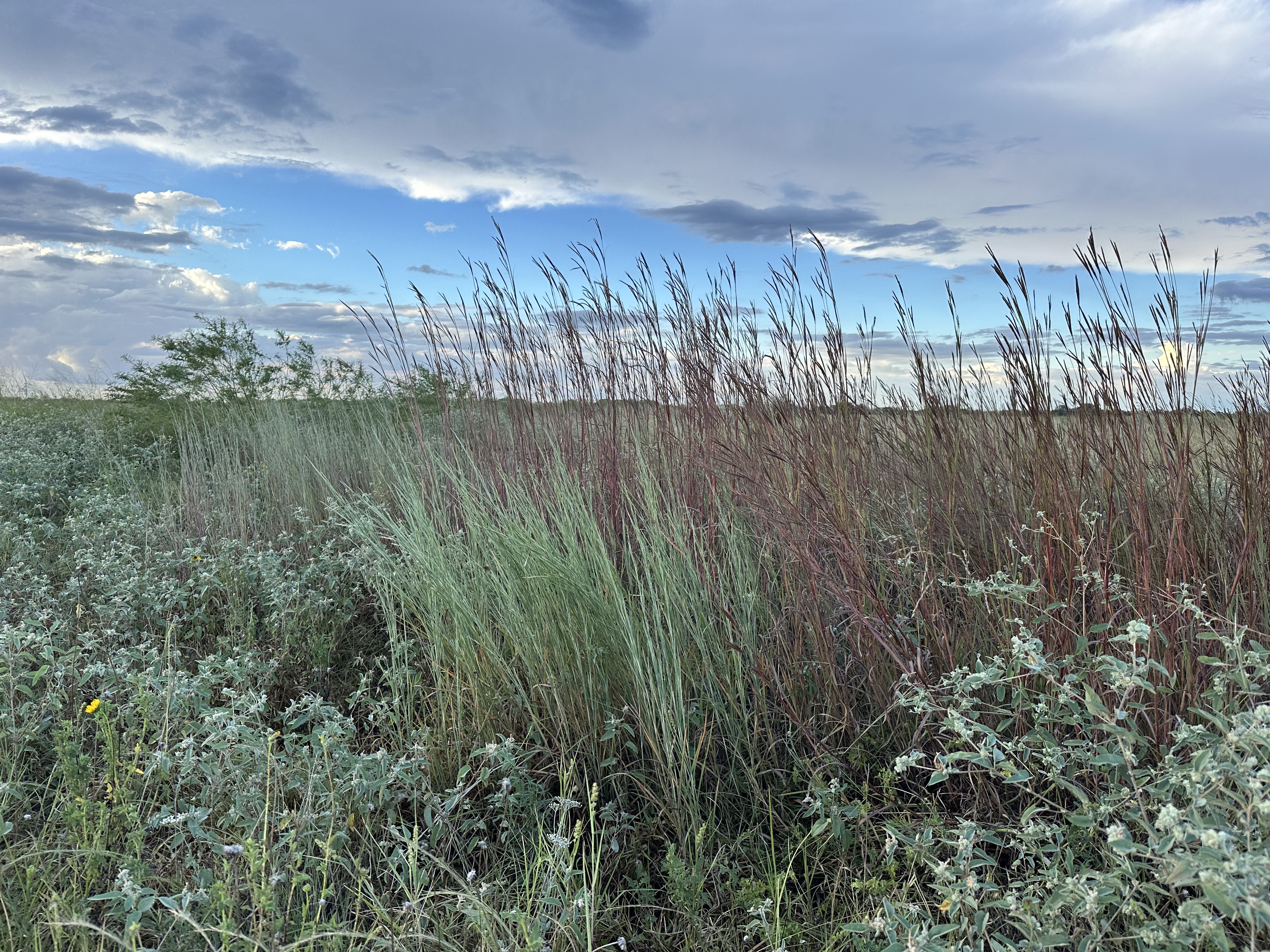
We will continue using a flexible rotational grazing system, beginning with an initial stocking rate of one cow per 20 acres. This rate will be adjusted over time as we monitor vegetation response and overall rangeland condition. Fortunately, many of our pastures still contain Big Bluestem, Little Bluestem, and other desirable native grasses, even where they are intermixed with invasive species. Lighter stocking rates will help protect these native grasses from overuse, allowing them to recover and expand.
By reducing grazing pressure, we also retain more fine fuels on the landscape, fuel that is essential for carrying prescribed fire. This integrated approach strengthens our ability to restore ecological processes, reduce brush encroachment, and rebuild the resilience and productivity of our rangelands.
Prescribed Fire
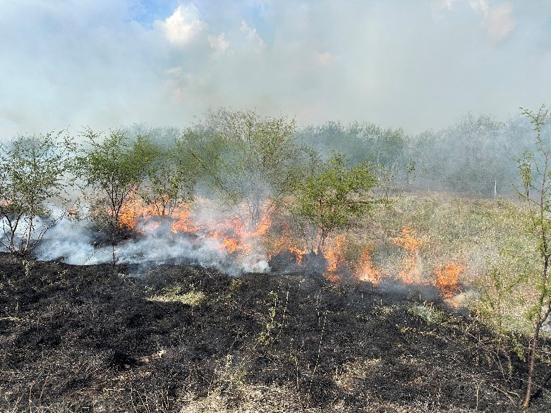
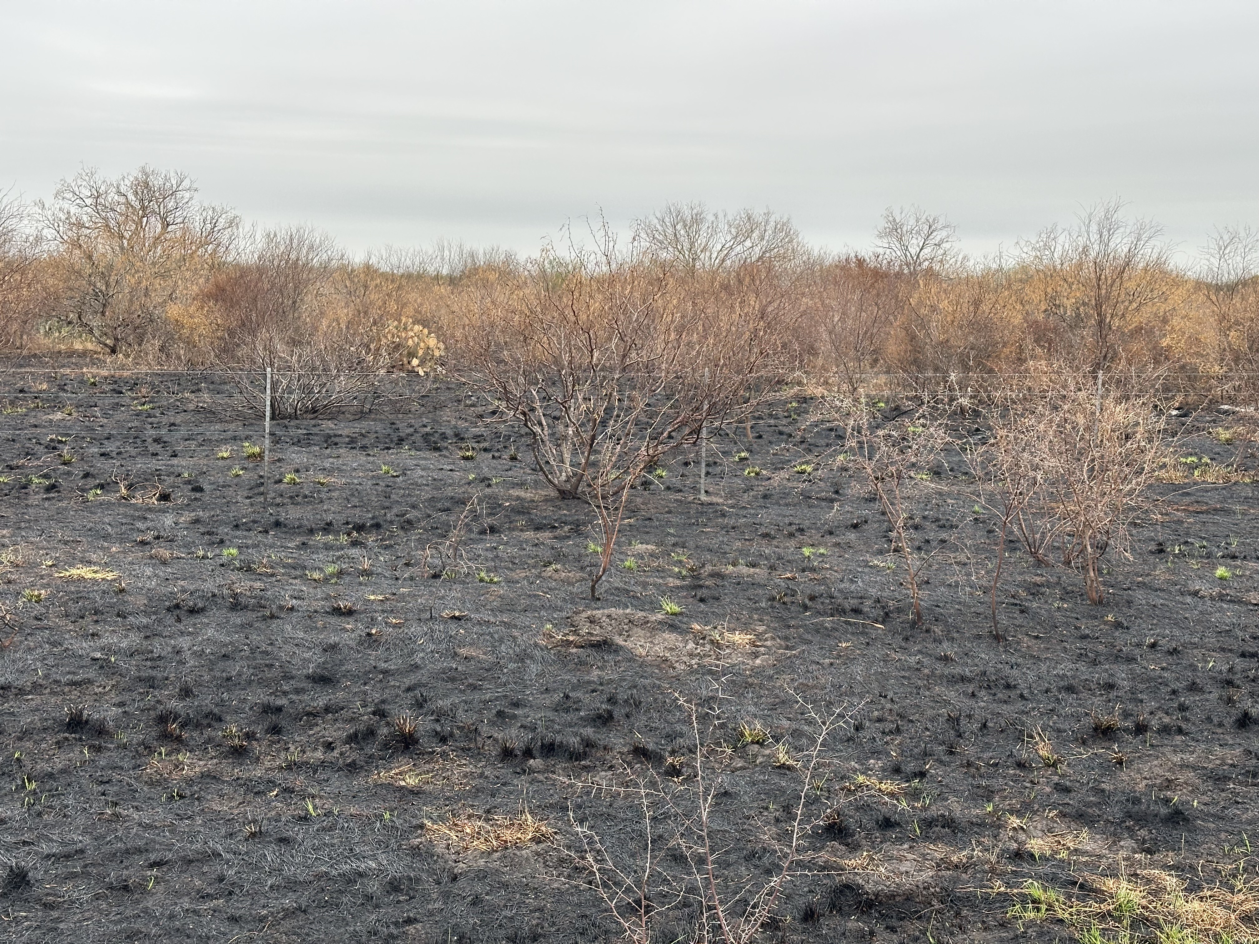
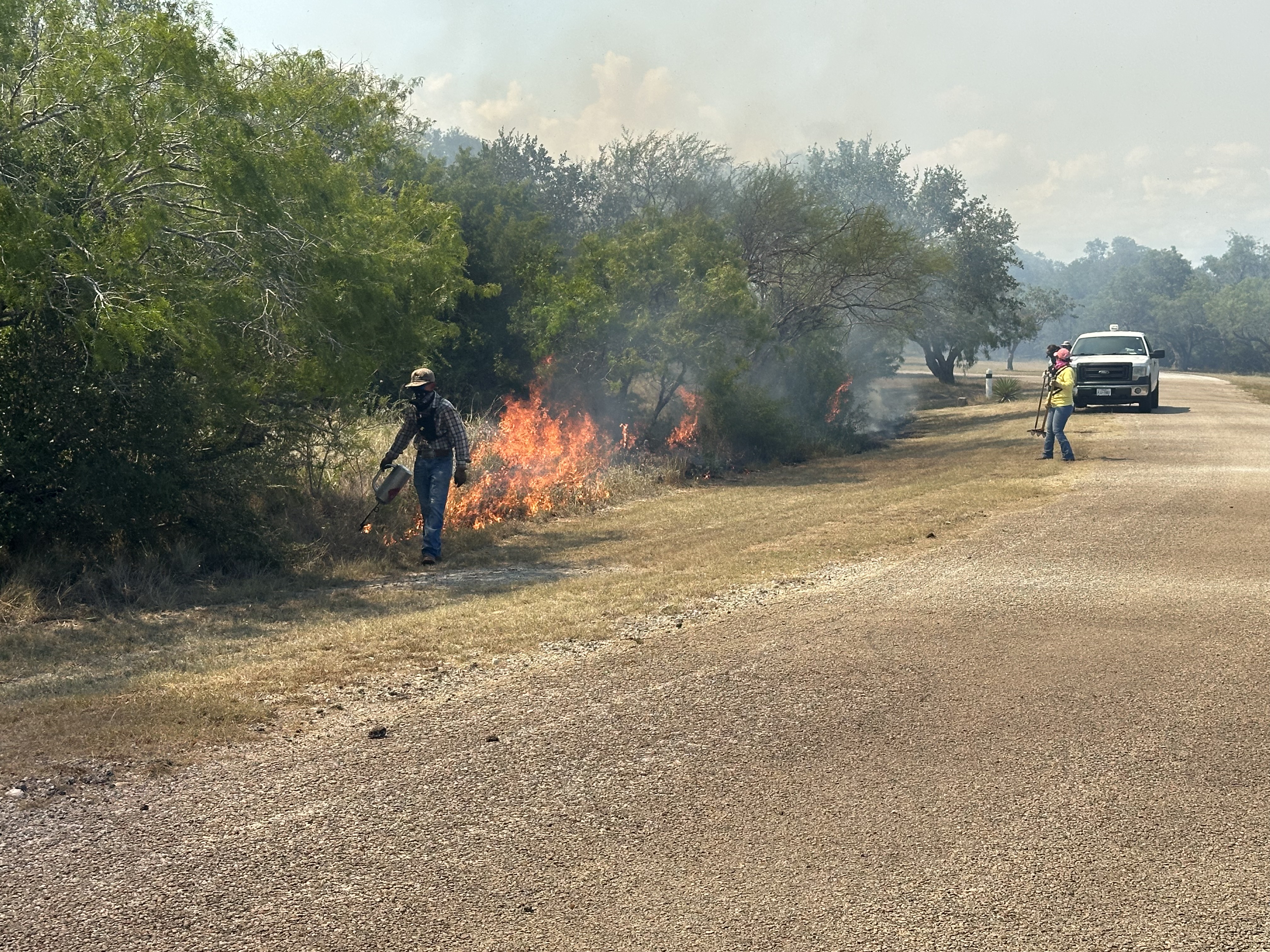
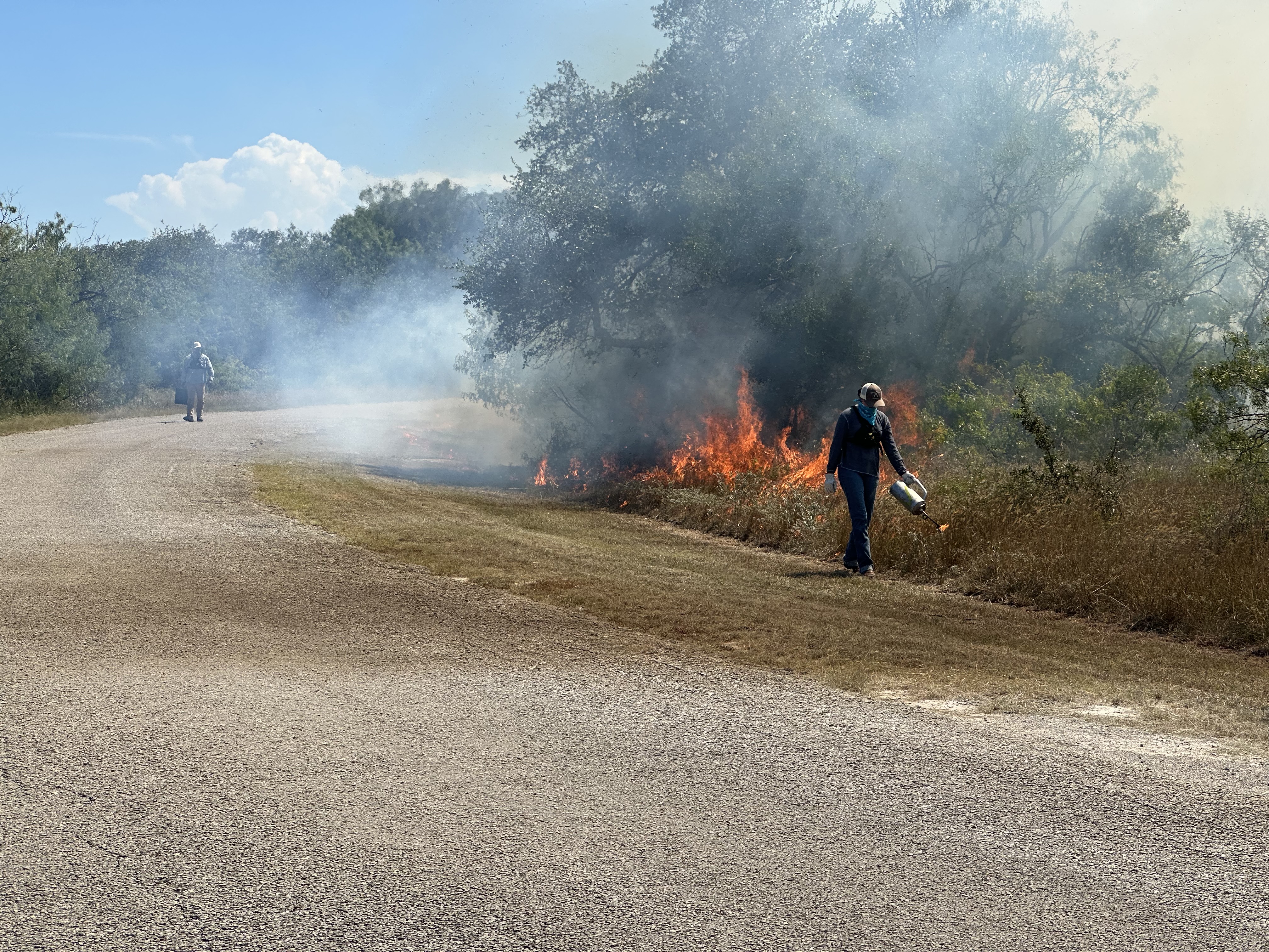
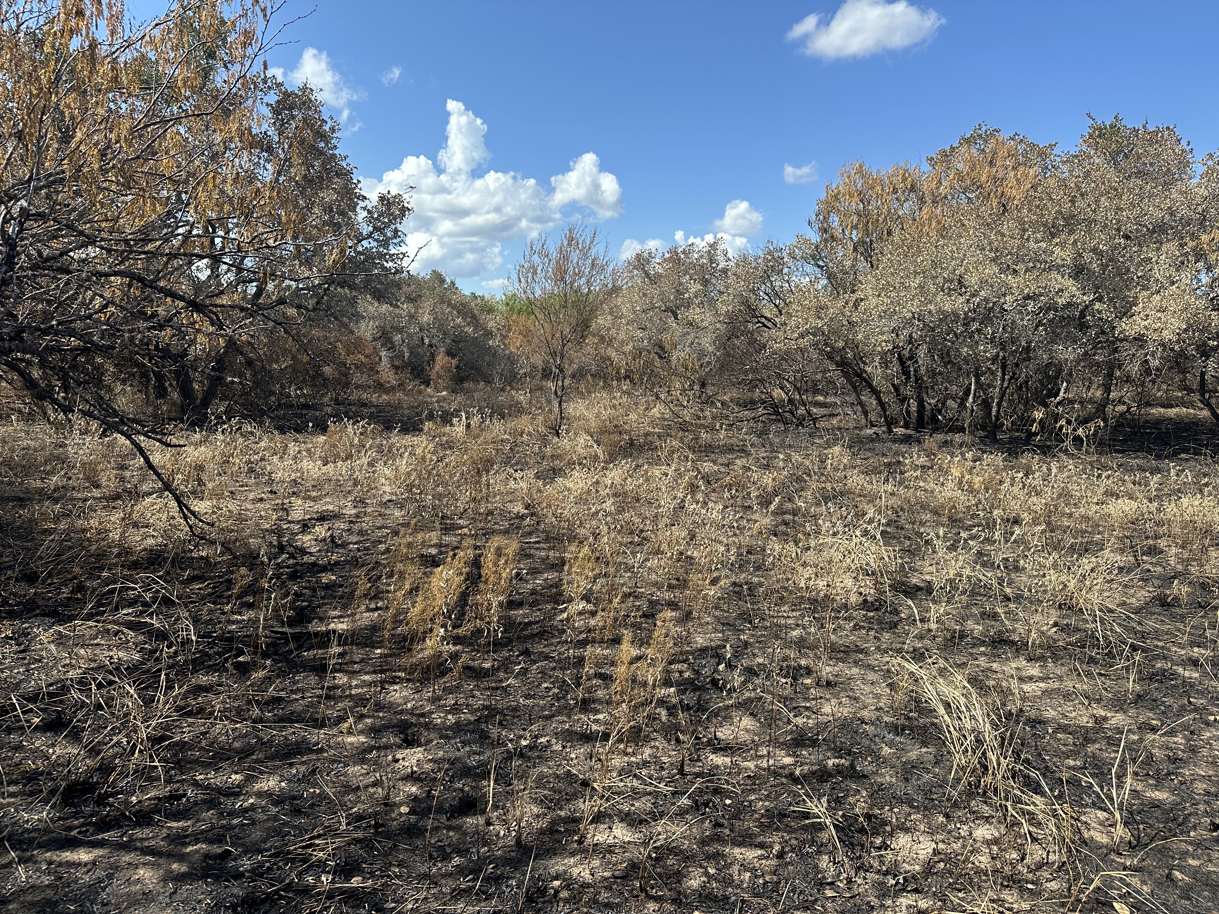
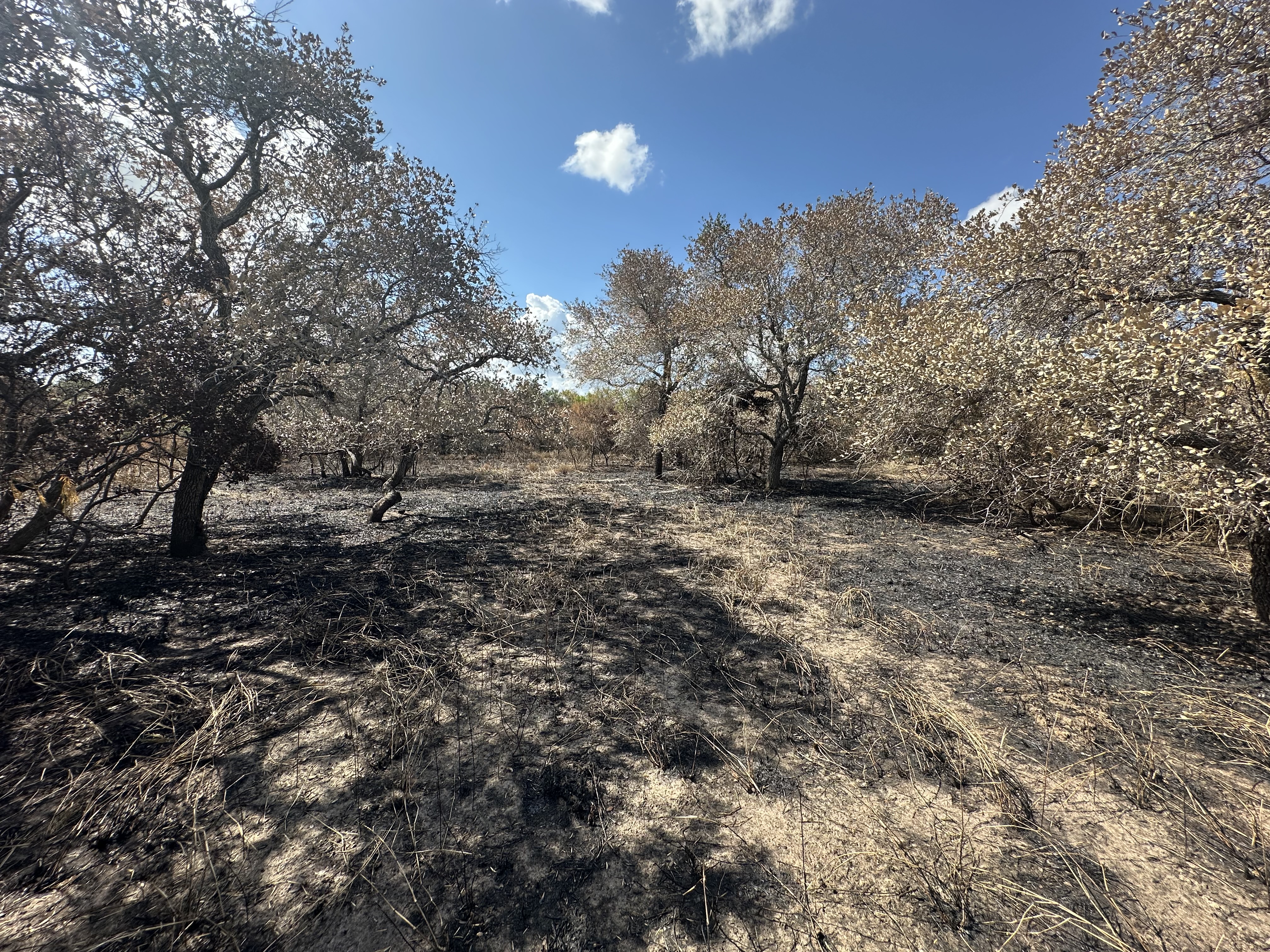
Prescribed fire has been used on the refuge since its inception, but an established fire cycle was difficult to maintain in earlier decades due to the high volume of on‑site research projects and the logistical constraints that came with them. Today, our coastal location and relatively high annual rainfall make prescribed fire one of the most important tools we have. It is the only management practice capable of fully resetting succession and keeping our grasslands open and functional.
Our goal is to burn 1,500–2,300 acres each year, using a year‑round approach rather than focusing on a single season. Burning across all seasons increases the number of viable burn days and ensures that the refuge maintains habitat in multiple stages of succession, which benefits both wildlife and research.
As noted previously, our brush encroachment challenges affect not only our grazeable acres but also our burnable acres. As we continue to reduce woody cover through strategic brush management, we will regain the ability to burn larger blocks of land and move closer to achieving our annual fire goals.
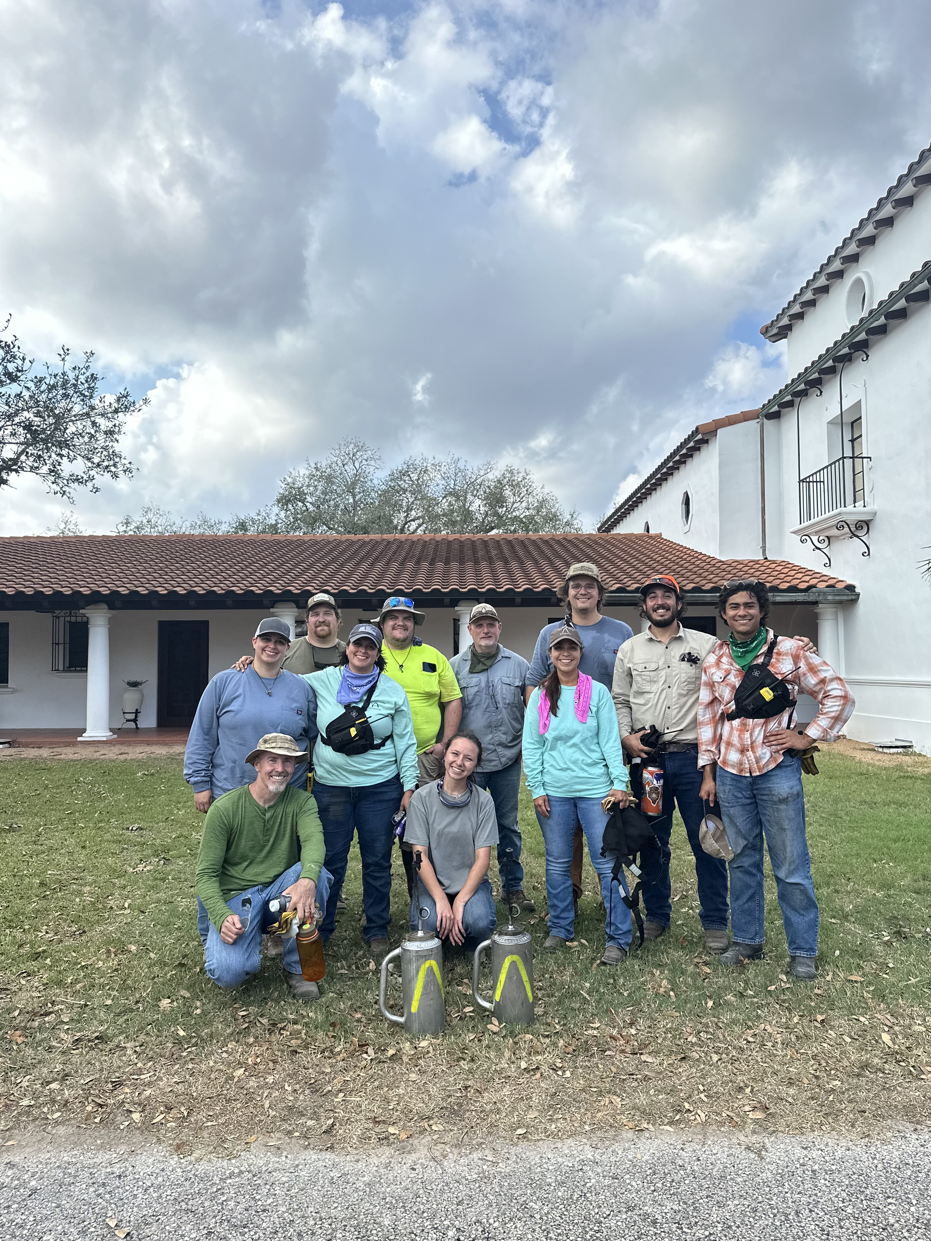
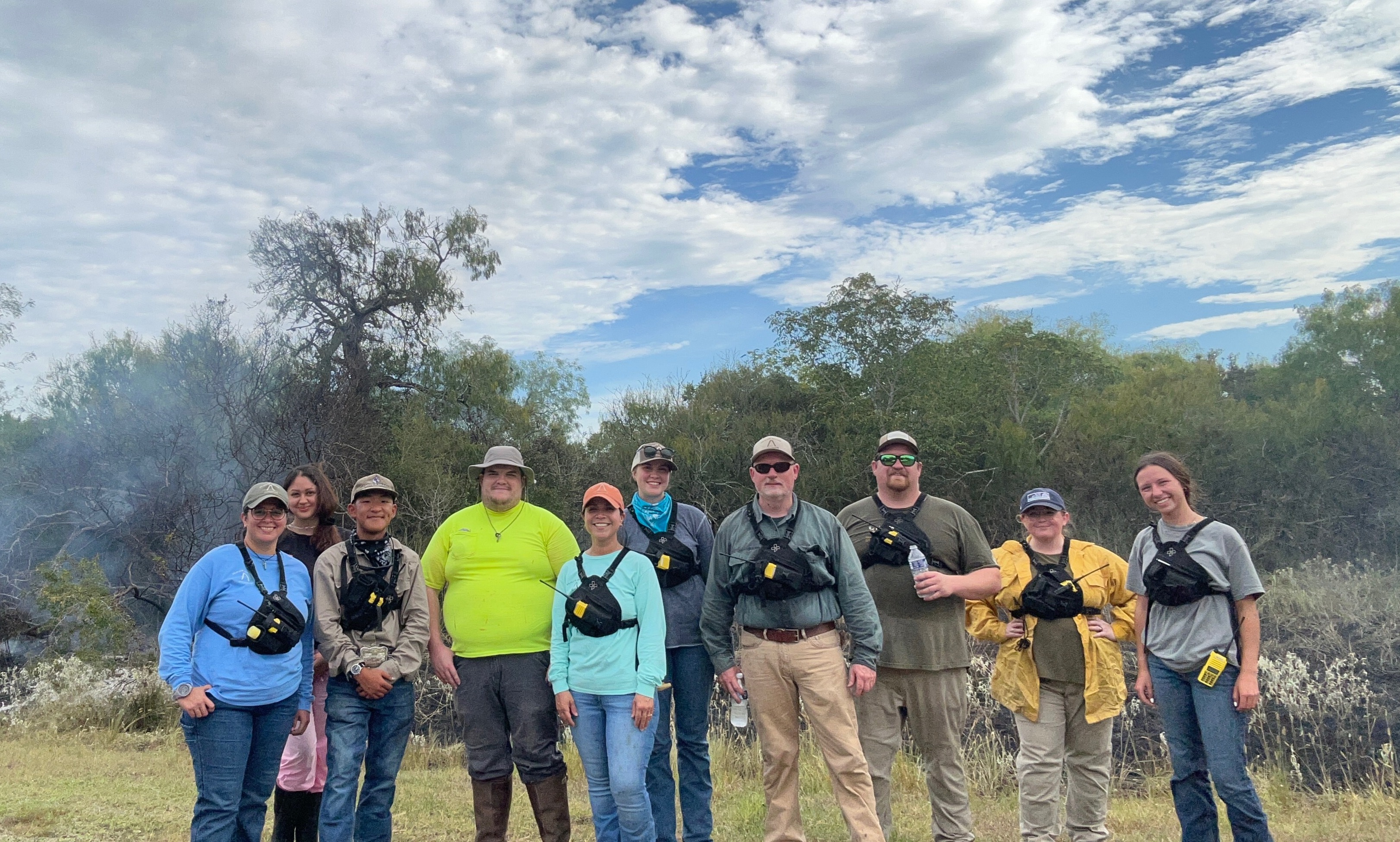
In the meantime, we are committed to steadily increasing the number of acres burned each year while also providing meaningful, hands‑on training opportunities for university students. Prescribed fire remains central to restoring ecological processes on the refuge and to cultivating the next generation of conservation professionals.